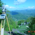
More Info

To do an uncommon job, uncommonly well

General Info
Our professional corporation was formed in July, 1978. We are members of the National Society of Professional Surveyors, the American Congress on Surveying & Mapping and active members of the North Carolina Society of Surveyors. We have extensive experience with major subdivisions, large acreage surveys as well as small lot surveys, topographic surveys, aerial control surveys, engineering design route surveys, Global Position System (GPS) surveys and Geographic Information Systems (GIS). This firm was the first in the region to use electronic field data collection and takes pride in having developed many innovative techniques that improve the quality and the efficiency of data acquisition and manipulation. Our state of the art techniques assist in developing and maintaining a GIS data base for some of the largest private entities and developers in this area. We have done many large GPS projects and began using survey grade GPS in 1993
Services/Products
Commercial, Residential, Topographic, Estates, Conservation Easements, GPS, GIS, Subdivisions, Aerial, Lots, Real Estate Planning, Engineering Routes.
Brands
GPS, Leica, Trimble
Payment method
debit, check, paypal, cash, visa
Location
Reynolds Mountain exit 23 off I 26 north Asheville
Amenities
We are the exclusive surveyors for Asheville's premier Estate for more than 30 years!
Associations
Members of ACSM, NSPS, and NCSS
Categories

Details

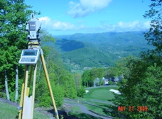
Phone: (828) 252-1530

Address: 50 N Merrimon Ave, Asheville, NC 28804

Website: Land surveying in Burnsville NC area

People Also Viewed